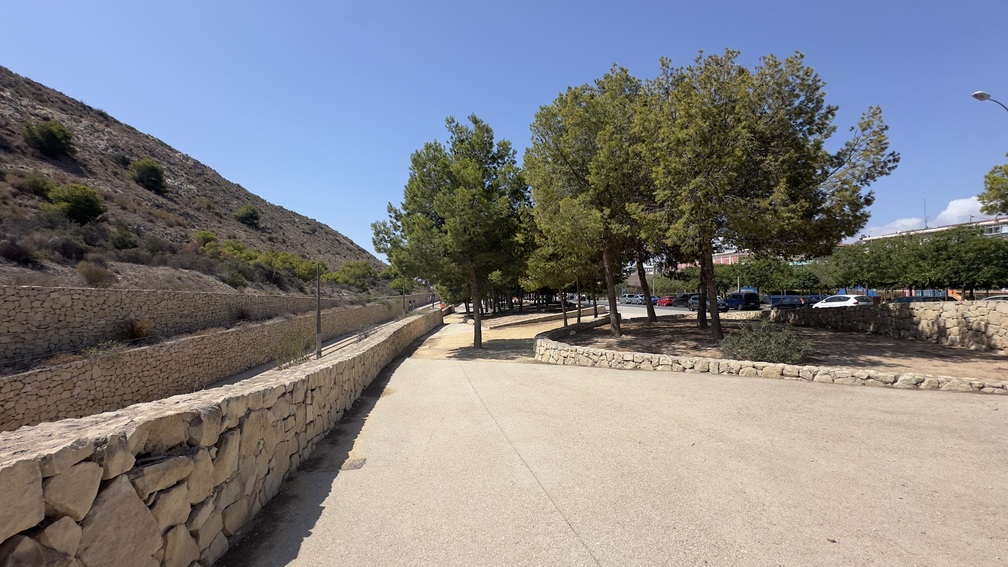
Sierra de San Julian – Serra Grossa

ROUTE:

5.24 km

DURATION:

2 hours 30 minutes

DIFFICULTY:

Easy
A mountain range facing the sea

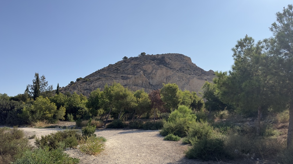
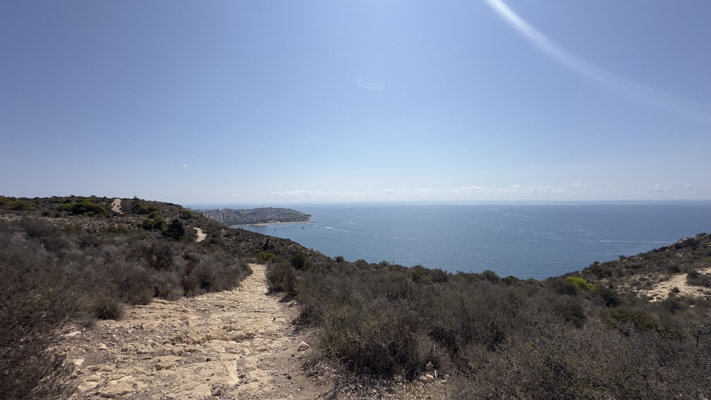
Located facing the sea, at the north entrance to the city of Alicante, the Sierra de San Julian or Serra Grossa covers an area exceeding 80 hectares, framed within a perimeter of 5 kilometers. This geographical-environmental landmark, used by humans since Prehistory and decisive in the development of the City, is currently conceived as an urban forest park where forest repopulation and landscape restoration works are carried out to promote its use as a natural space.

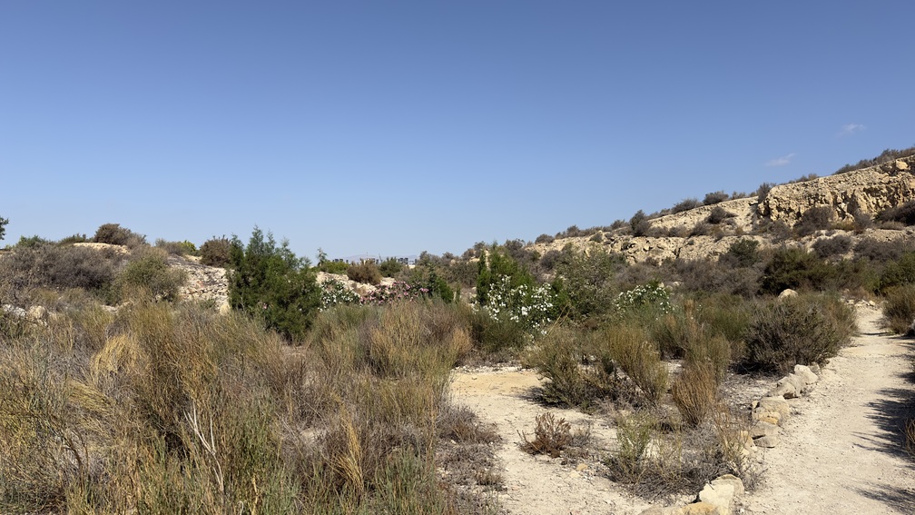
In the Serra Grossa there is an excellent representation of the main plant communities typical of the mediterranean coast. One of the most important is the Alicante thorn scrub, composed of the dwarf fan palm (Chamaerops humilis), the black hawthorn (Rhamnus lycioides) or the Osyris (Osyris lanceolata), among others, as well as all their stages of succession. On the sunniest slopes appear the esparto grasslands of common esparto (Stipa tenacissima) and albardine (Lygeum spartum), an interesting community very well adapted to the harsh conditions of drought and strong sun exposure that prevail in these habitats. The more open and flat areas are occupied by thyme scrublands of the genera Thymus sp. and Teucrium sp. and by grasslands of grasses, fennel (Foeniculum vulgare) and different species of thistles. We can also observe typical plants of rocky outcrops, such as the rock pennyroyal (Teucrium buxifolium subsp. rivasii ), the cats claw (Sedum sediforme) or the caper bush (Capparis spinosa).

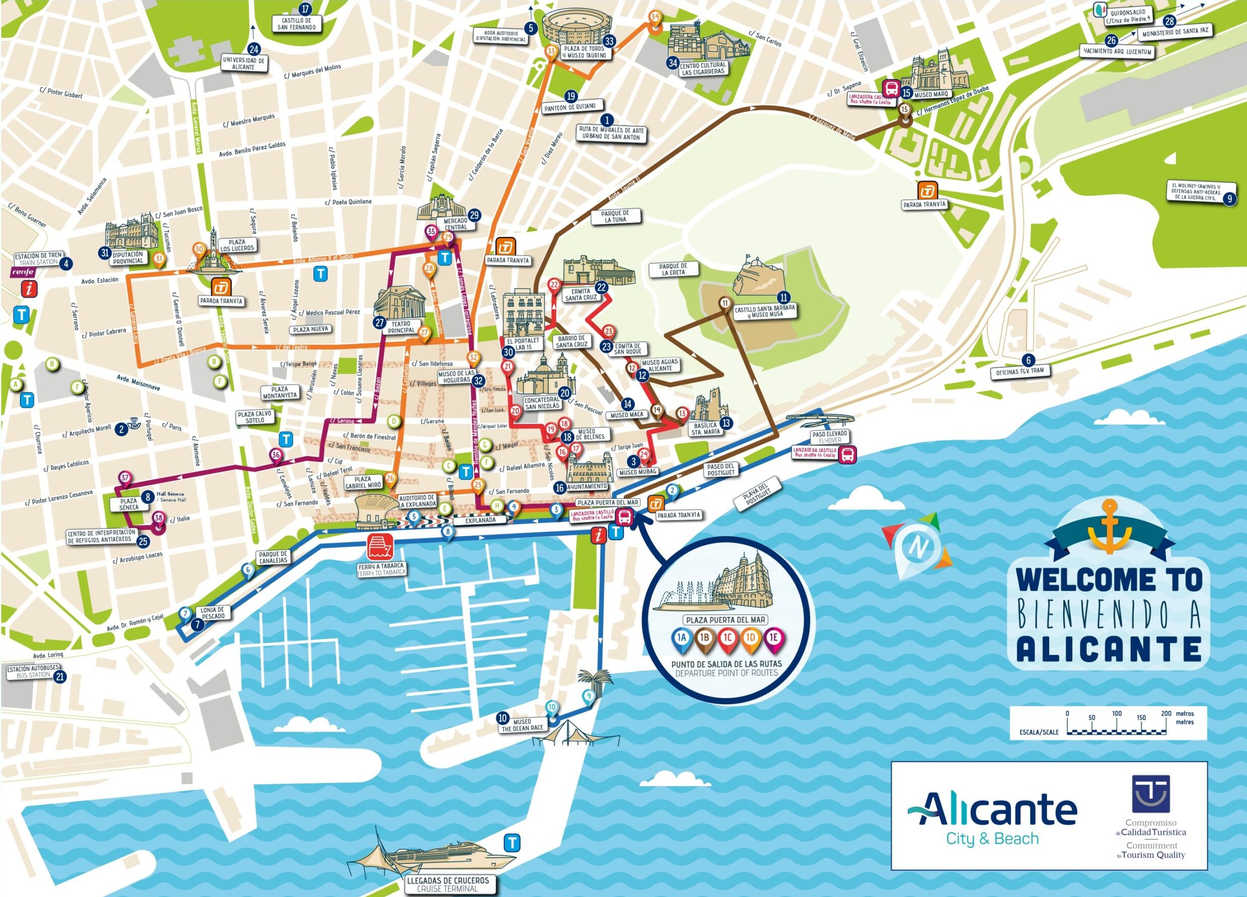
All Routes in Alicante

Route A

Maritime facade of Alicante

Route B

Santa Barbara Castle

Route C

Old Town of Alicante

Route D

The Traditional Downtown of Alicante

Route E

Alicante Air Raid Shelters

Services that might interest you

AGUITUR
Tourist guides accredited by the Valencian Agency of Tourism
ALACANT CIRCUIT

icono +34 601 039 933
icono +34 685 829 937
icono info@alacantcircuit.com
icono www.alacantcircuit.com

Tourist guides accredited by the Valencian Agency of Tourism
BLUEMED TOURS S.L

icono C/ Pintor Aparicio, 28 E-1, 03003, Alicante
icono +34 679 899 880
icono central@bluemedtours.com
icono www.bluemedtours.com
Facebook Instagram

SICTED Badge
The Exquisite Mediterranean
CREATURISME VALENCIAN COMMUNITY CULTURAL
CRATURISME VALENCIAN COMMUNITY WINE TOURISM
CONVENTION BUREAU ALICANTE
ALICANTE WINE ROUTE

Tourist guides accredited by the Valencian Agency of Tourism
Languages: English, Spanish, French, Valencian
Esatur XXI, S.L.

icono Calle Arzobispo Loaces, 3, 03003, Alicante
icono +34 966 377 034
icono info@esatur.com
icono www.estaturservicios.com
Facebook Instagram

Distintivo SICTED
ISO 9001
ISO 14001
ISO 27001
Tourist guides accredited by the Valencian Agency of Tourism
Languages/ Languages: English, Español, Valencià
FREE WALKING TOURS ALICANTE
Facebook Instagram Tripadvisor

Tourist guides accredited by the Valencian Agency of Tourism
OXYTOURS
Facebook Instagram X tripadvisor

Guías de Turismo acredidatos por la Agencia Valenciana de Turismo
Tourist guides accredited by the Valencian Agency of Tourism
TRAMUNTANA AVENTURA

icono C/ Rabasa, 3, Local 1, 03005, Alicante
icono +34 686 216 102
icono info@tramuntanaaventura.es
icono www.tramuntanaventura.es
Facebook Instagram Tripadvisor

Q Certificate for Tourist Quality
Sicted Certificate

Tourist Guides accredited by the Valencian Agency of Tourism
Tourist guides accredited by the Valencian Agency of Tourism
TURIGUIAS

icono C/ del Teatro 41, 4 IZQ, 03001, Alicante
icono +34 686 469 916
icono +34 654 486 777
icono contact@turiguiasalicante.com
icono www.turiguiasalicante.com
Facebook Instagram

SICTED Quality Certificate

Tourist guides accredited by the Valencian Agency of Tourism
ULA Guides

icono Marina Deportiva, Mlle. Levante, 6, 03001, Alicante
icono +34 677 299 150
icono ula_sp@hotmail.com
Facebook Instagram

SICTED Distinctive

Tourist guides accredited by the Valencian Agency of Tourism
Languages/ Languages: Deutsch, English, Español, Français, Italiano, Valencià, others

Alicante By Bike & Rentals Tours

icono C/ Cienfuegos, 1, 03002, Alicante
icono +34 605 097 063
icono info@alicantebybike.com
icono www.alicantebybike.com
Bike Rent in Alicante

icono C/ Bailén, 14, Local 1, 03001, Alicante
icono +34 605 657 496
Blue Bike | Rental & Tour

icono C/ Mayor 45, 03002, Alicante
icono info@bluebike.es
icono www.bluebike.es
Rent Point- Rent Bike Alicante

icono C/ Navas 11, 03001, Alicante
icono +34 658 348 218
icono rentpointalicante@gmail.com
icono www.rentpointalicante.com
Bikes&City Alicante – Alquiler, rutas

icono C/ San Vicente 61, 03004, Alicante
icono +34 966 376 596
icono www.bikesandcity.com

BLUE BIKE ALICANTE

icono C/ Mayor, 45, 03002, Alicante
icono +34 674 676 362
icono www.bluebike.es
ESATUR
SEGWAY ALICANTE

icono +34 656 332 485
icono +34 966 272 837
SIS TOURS EVENTS

Facebook

TRAMUNTANA AVENTURA

icono C/ Rabasa, 3, 03005, Alicante
icono +34 686 216 102
icono +34 616 35 1506
icono info@tramuntanaaventura.es
icono www.tramuntanaaventura.es

AKRAVIBE

icono C/ Castaños, 42, 03003, Alicante
icono +34 965 168 907
icono www.akravibe.es
AVENTURERO CATAMARÁN S.L

icono Av. Conde de Vallellano, s/n, 03001, Alicante
icono +34 694 443 820
icono info@alicantecatamaran.com
icono www.alicantecatamaran.com
ALICANTE RACING QUADS RENT

icono Mlle. Poniente, 6, 03001, Alicante
icono +34 697 207 904
icono alicanteracingquads@gmail.com
ALIJETSET

icono Mlle. Levante, 8, Local 4, 03001, Alicante
icono +34 627 031 220
icono +34 660 731 819
icono info@alijetset.com
icono www.alijetset.com
AWANA

icono Av. Condomina 70 BL5 E15, 03540, Alicante
icono +34 636 852 977
icono info@awanamountains.com
icono www.awanamountains.com
BLUE VALLEY

icono Av. Costa Blanca, 114, 03540, Alicante
icono +34 635 230 672
icono +34 645 392 021
icono info@bluevalleyco.com
CENTRO BUCEO ALTAIR

icono C/ Rosa Chacel, 20 local D, 03008, Alicante
icono +34 634 959 013
icono buceoaltair@gmail.com
icono www.alicantebuceo.es

Facebook
Instagram
CLUB DE SURF EL MORENO

icono C/ Deportista Juan Mato, 4, 03016, Alicante
icono +34 649 556 696
icono elmorenosurf@gmail.com
icono www.clubsurfelmoreno.com
EPICALBOATS

icono Marina Deportiva, 03001 Alicante
icono +34 605 729 918
icono info@epicalboats.es
icono www.epicalboats.es
ENERGY ACTIVE CLUB

icono Av. de la Costa Blanca, 114, 03540, Alicante
icono +34 635 230 672
icono www.energyactiveclub.com
FANAUTIC CLUB ALICANTE

icono C/ Currica, 1, 03590, Alicante
icono +34 639 661 398
icono alicante@fanauticclub.com
icono www.fanauticclub.com

Facebook
Instagram
X
HIKINGALICANTE

icono C/ Miraflor 1, 03005, Alicante
icono +34 660 507 225
icono info@hikingalicante.com
icono hikingalicante.com


Instagram
X
LLOGA UN LLAÜT

icono Mlle. de Levante 8, s/n, 03113, Alicante
icono +34 680 191 313
icono info@llogaunllaut.es
icono www.llogaunllaut.es
MARINA JETS S.L

icono Mlle. de Levante Tinglado 21A, 03002, Alicante
icono +34 602 585 243
icono marinajets.sl@gmail.com


Instagram
OXYTOURS

Facebook
Instagram
X
Tripadvisor
PARASAILING ALICANTE

icono Mlle. 14, Zona de Levante, S/N, 03001, Alicante
icono +34 674 444 747
icono info@parasailingalicante.com
icono reservas@parasailingalicante.com
icono www.parasailingalicante.com
Facebook
Instagram
SIS TOURS EVENTS

icono Av. Miriam Blasco, 2, 03540, Alicante
icono +34 627 168 907
icono +34 609 291 993
icono info@sistorsevents.com
icono www.sistoursevents.com

Facebook
X
TERRENODEAVENTURA

icono C/ Enric Valor 12-73 03540 Playa de San Juan (Alicante)
icono +34 687469836
icono terrenodeaventura@gmail.com
icono www.nativojaime.blogspot.com
TRAMUNTANA AVENTURA

icono C/ Segura, 13, Bajo derecha, 03004, Alicante
icono +34 686 216 102
icono info@tramuntanaaventura.es
icono www.tramuntanaventura.es

ALICANTE RACING QUADS RENT

icono C/ de Sant Agustí, 3, 03002, Alicante
icono +34 697 207 904
icono alicanteracingquads@gmail.com
OXYTOURS

Facebook
Instagram
X
Tripadvisor
TRAMUNTANA AVENTURA

icono C/ Rabasa, 3, 03005, Alicante
icono +34 686 216 102
icono +34 616 35 1506
icono info@tramuntanaaventura.es
icono www.tramuntanaaventura.es

* Important Notice

The Alicante Municipal Tourist Board is not responsible for any changes that may occur in the contact details, schedules, locations of accommodations, restaurants, tourist service companies, and transport, as well as in the cultural facilities of the city. It is recommended to verify the information in advance.

Events calendar

No event found!

Regarding the fauna, the most easily detectable group is the birds. Notable for its abundance and rarity at the European level is the Black Wheatear (Oenanthe leucura), a black bird with a white tail that inhabits the rocky areas of the mountain range. Other frequent species in the shrublands and pine forests are the Sardinian Warbler Blackcap (Sylvia melanocephala) and the European Serin (Serinus serinus). On the cliffs nest several pairs of Common Kestrel (Falco tinnunculus), Alpine Swift (Tachymarptis melba), Common Swift (Apus apus) and Pallid Swift (Apus pallidus). The most common reptiles are the Iberian Wall Lizard (Podarcis hispanica), the Ladder Snake (Rhinechis scalaris) and the Montpellier Snake (Malpolon monspessulanus). Other animals, such as mammals, are easier to discover through their traces and droppings, such as the rabbit (Oryctolagus cuniculus) and the European Hedgehog (Erinaceus europaeus).

Geologically, the Serra Grossa is located in the eastern part of the Baetic System and its formation dates back to the Lower and Middle Miocene. In its geological composition, three parts can be distinguished: a lower zone of gray gypsum marls, an intermediate zone of bioclastic calcarenites, and a third formation, 150 meters, of bioclastic calcarenites with abundant glauconite.

The calcarenite of this mountain range was used as a building material in historical monuments of the City, such as the Basilica of Santa Maria or the Monastery of Santa Faz, being known as “Pedra de Sant Julia” or “Julian stone”.

Francisco Figueras Pacheco, Official Chronicler of the city of Alicante and man of letters, wrote in 1914: “We have reached the point where the Cerro del Molinet, also known as Cerro Santa Ana, begins, an extension of the Sierra de San Julian, which can well be called the mother of Alicante, for from its inexhaustible sandstone quarries have come the materials for almost all the buildings in the town.”

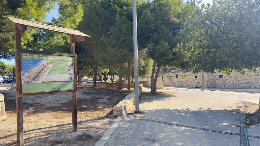
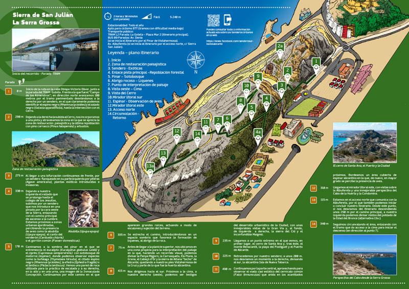
1. Start

0 meters

The route starts on Calle Obispo Victorio Oliver, next to the TRAM stop – Goteta. In front of what used to be the “Campo de los Almendros”; heading north, we advance 100 meters on the paved section, turning right onto a path where we can clearly identify the blackthorn (Rhamnus lycioides) and the black saltwort (Salsola oppositifolia), until the intersection with the hill.

2. Landscape restoration area

290 meters

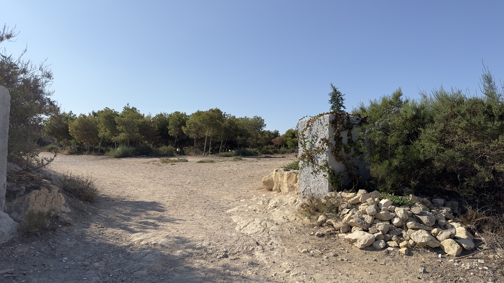
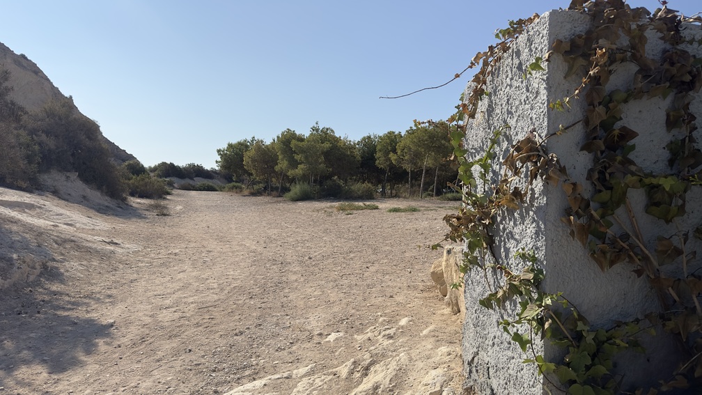
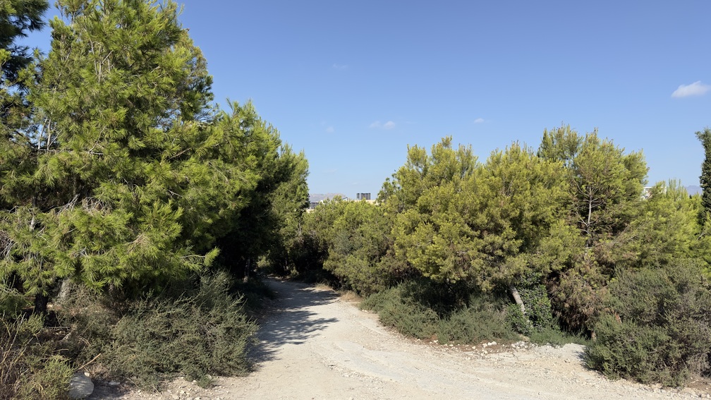
Leaving the ascent to the Hill on the right, we join a track and cross the area where the landscape restoration area and the latest repopulation with Aleppo pine (Pinus halepensis) and shrubs can be seen.

Alternative route

2a. Cerro del Molinet or Santa Ana

We ascend the Cerro del Molinet, also called Cerro Santa Ana, since in the 15th century the Hermitage of Santa Ana was erected at the top of the hill, disappearing from this enclave after falling into ruins due to the English bombings of 1706 (War of Succession). Along the way, we see part of the reforestation carried out. We reach the viewpoint, where we have another perspective of the Alicante coastline, as well as the Serra Grossa and the impact of the railway line of the “trenet” or the establishment of factories like “La Británica”; all linked to the exploitation of aggregates for centuries. We skirt the viewpoint from the outside, passing near a republican trench, in an area where remnants of the Spanish Civil War can be seen, indicating its strategic value. We continue and find ourselves above a huge reservoir, a testament to the industrial heritage of this Sierra, which has a network of tunnels and reservoirs within its depths.

3. Path - Exotics

275 meters

Upon reaching a fork, we continue straight ahead, along a path flanked on its left side by agaves (Agave americana), exotic and invasive plants.

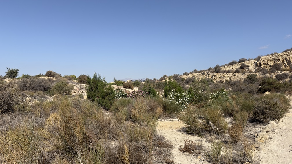
4. Main track link – Forest repopulation
330 meters

Leaving to our left the fence that extends to the Jesuit school, we climb a path that leads us into a pine forest on the west side of the Sierra, connecting with the main path to the summit. We are close to landscaped urban areas, noticing the presence of birds such as the hoopoe (Upupa epops), the song of the greenfinch (Carduelis chloris), or the common sparrow (Passer domesticus).

Alternative route

4a. The Vistahermosa Pine Forest

The Vistahermosa Pine Forest is the first landscaping project that, in 2005, was developed in this coastal mountain range. This park, in which more than 1,500 specimens of different species of trees and shrubs were planted, including pines (Pinus halepensis), olive trees (Olea europaea), dwarf palms (Chamaerops humilis), oleanders (Nerium oleander), bougainvilleas (Bougainvillea glabra), or kermes oaks (Quercus coccifera), opens a connection with the Serra Grossa, giving access to the main track.

5. Pine forest – Underbrush

170 meters

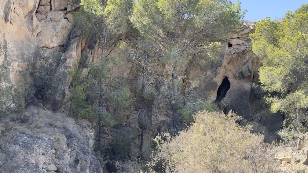
We walk in the shade of the pine forest where eucalyptus (Eucalyptus globulus Labill) and cypress (Cupressus sempervirens) intermingle with underbrush (thorny scrub), where we can observe species such as the spurge flax (Thymelaea hirsuta), the aforementioned blackthorn (Rhamnus lycioides), the joint pine (Ephedra fragilis), or the mastic tree (Pistacia lentiscus). We see a rock wall used for climbing practice and to its right, high up in an urn, an image of the Immaculate Conception. We continue along this path where large roots appear, acting as steps and stabilizing the terrain.

6. Rock shelter – Lichens

335 meters

The path narrows, leading us into a shady area that favors the formation of lichens, sheltered by the rock.

7. Landscape interpretation point

75 meters

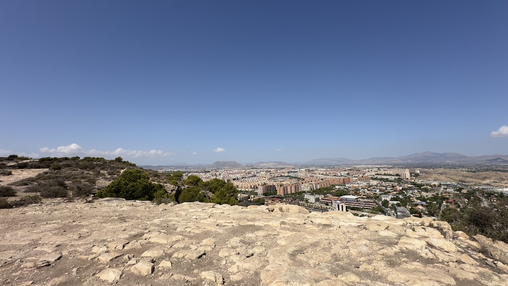
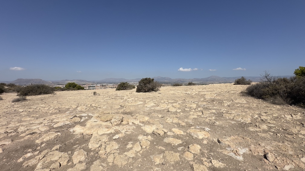
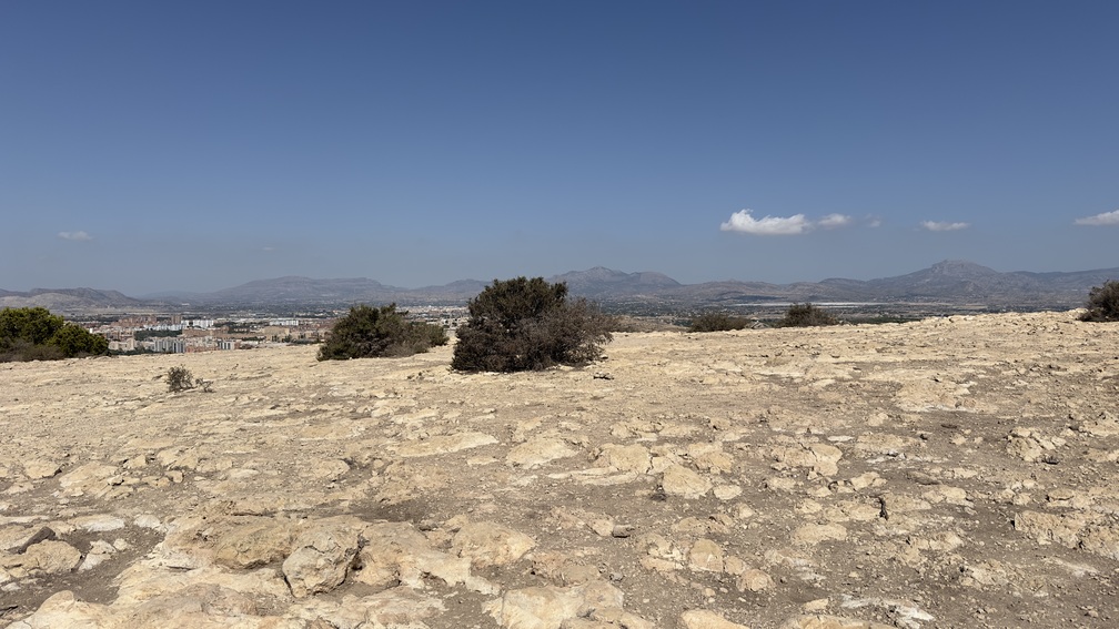
Before reaching the upper plain, we find ourselves in an area suitable for landscape interpretation where, making a visual tour, we can see the Penya Migjorn, the Carrasqueta, Els Plans, La Grana, the Cabeçó d’Or, and the Aitana mountain range, the “roof” of Alicante; with Vistahermosa de la Cruz and part of what was the Alicante orchard at our feet.

8. West view – Summit

415 meters

We head south. Near the summit, to our right (west), we can witness the urban development of the City, with unbeatable views of the Gran Via and, in the background, from left to right, the Cid mountain range and the unmistakable Maigmo.

l9. Hill view

235 meters

We reach an extreme point where we first see Cerro Santa Ana and, behind it, the Monte Benacantil, the Postiguet beach, and the Port of Alicante.

10. Coastal south viewpoint

225 meters

We retrace our path; about 200 m. we momentarily turn right, seeing to the south, the Alicante Island of Nueva Tabarca.

11. Pine forest - Bird watching

490 meters

We continue through the central part, taking the opportunity to observe the almost static flight of the common kestrel (Falco tinnunculus) that nests in the nearby cliffs. We skirt an area covered with Alicante thorny scrub where, again, the presence of birds is more noticeable.

12. Coastal east viewpoint

310 meters

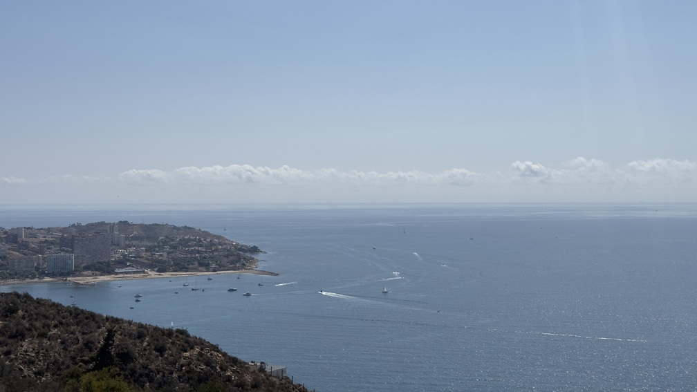
We reach the eastern coastal viewpoint, with views over the Albufereta and an unbeatable perspective of the Cabo de la Huerta and the Condomina.

13. North access

115 meters

We are at the northern access that connects with the Albufereta, where we can also start or end our itinerary. From this point, if we deviate from the itinerary by descending about 250 m along the main path, to our left we can see remains of the Bronze Age settlement (alternative 13a).

Alternative route

13a. Bronze Age Settlement

On the northern slope of the Serra Grossa, near the Albufereta, lie the remains of a Bronze Age settlement. Discovered by Father Belda in the first third of the 20th century, it is one of the oldest human settlements in the city. The site provided one of the first carbon-14 chronologies in Spanish archaeology, dating its occupation to around 1815 BC, which is one of the oldest dates of the so-called Valencian Bronze Age.

14. Bypass - Return

340 meters

We continue circling the area, connecting with the section that gives access to the summit to begin the descent (towards point 7).